Harnessing Thunder: A New Frontier in Seismic Imaging with Fiber-Optic Technology
Researchers at Penn State have developed a groundbreaking method to use thunderstorms and fiber-optic cabling for seismic imaging, revealing subsurface features with unprecedented clarity. This innovative approach promises to enhance our understanding of geological structures and improve infrastructure safety.
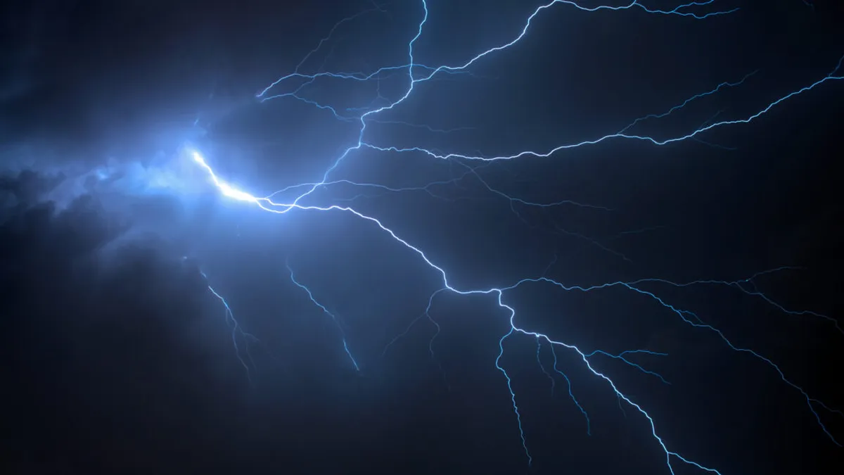
The tumultuous power of a thunderstorm, often associated with dramatic weather and fleeting moments of awe, has found an unexpected role in the field of geophysics. Researchers at Penn State University have unlocked the potential of thunder and lightning to enhance seismic imaging, an innovation that could revolutionize how we understand the Earth's subsurface. By leveraging fiber-optic cabling, traditionally used for high-speed internet, scientists are now able to capture seismic waves emitted during thunderstorms, providing a novel way to visualize geological features beneath our feet.
This groundbreaking approach combines elements of atmospheric science and geophysics, allowing researchers to analyze the complex seismic waves generated by thunder. Unlike conventional methods that rely solely on earthquakes or artificial explosions to gather seismic data, this new technique offers a continuous stream of information, particularly useful in areas prone to thunderstorms. The implications of this research extend from improving our understanding of geological formations to enhancing infrastructure safety in urban areas.
The Science Behind Thunderquakes
Seismic waves, which are the foundation of our understanding of the Earth's interior, travel at varying speeds depending on the geological materials they encounter. When lightning strikes, it creates a series of shock waves that travel through the atmosphere and into the Earth, known as thunderquakes. However, these waves are notoriously complex due to the chaotic nature of thunder and the diverse geological contexts they penetrate.
Understanding the Complexity
To comprehend the seismic signals from thunder, one must first grasp how thunder is produced. When lightning strikes, it generates superheated plasma bubbles that create acoustic shock waves. These waves, much like a string of beads, expand outward in a non-linear fashion, complicating the analysis of their paths. Additionally, the Earth's varying materials—ranging from soft soils to hard rock—further distort these waves, resulting in a complicated seismic signal that is challenging to decipher.
Revolutionizing Seismic Imaging
The Penn State team tackled the challenge of analyzing thunderquakes by developing a sophisticated computational model to approximate the seismic waves generated by thunderstorms. Utilizing a software package called SPECFEM3D Cartesian, the researchers created a three-dimensional model that simulates how these waves interact with the Earth's surface.
Modeling Seismic Waves
The modeling process required compromises, including treating the atmosphere as a homogeneous layer and adjusting the pace of the model to match the faster-moving seismic waves. Despite these limitations, the researchers validated their model against real-world data collected from thunderstorms over a two-year period, resulting in 458 well-resolved thunderquakes.
- Utilization of fiber-optic cables as seismic sensors
- Collection of data from thunderstorms in a karst region
- Identification of subsurface weak zones through seismic analysis
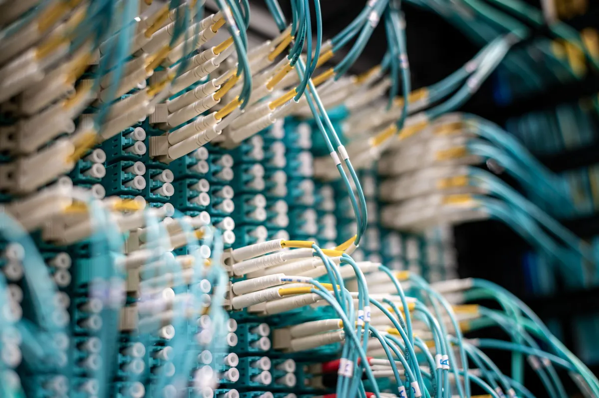
The fiber-optic cables, strategically installed beneath the Penn State campus, acted as sensitive seismometers, capturing the intricate seismic signatures of thunderquakes. This innovative use of existing infrastructure not only provided valuable data but also demonstrated the versatility of fiber-optic technology beyond its traditional applications.
Insights Gained from Thunderquakes
Through their analysis, the researchers identified four significant weak zones beneath the campus, areas where seismic signals slowed down due to interactions with less rigid materials—such as sediments or fractured rock. These findings were corroborated by additional methods including radar measurements, engineering surveys, and independent seismic data.
Implications for Infrastructure
The identification of weak zones has critical implications for urban infrastructure. Areas with high water content or geological instability can pose risks to buildings, roads, and bridges. By improving our understanding of these subsurface conditions, engineers and urban planners can make more informed decisions regarding construction and maintenance, ultimately enhancing safety and resilience against natural disasters.
Advantages of Thunderquake Research
The use of thunderquakes for seismic imaging offers several advantages over traditional methods:
- Frequent occurrence: Thunderstorms are common in many regions, providing a continuous source of seismic data.
- Surface-level detail: Thunderquakes are particularly effective for imaging subsurface features close to the surface, where most human infrastructure exists.
- Cost-effective: Utilizing existing fiber-optic networks reduces the need for expensive seismic survey equipment.
While the model used for analyzing thunderquakes may not be perfect, it proves to be a valuable tool in extracting usable seismic data. The research underscores the potential of interdisciplinary approaches, merging atmospheric sciences with geophysical techniques to advance our understanding of the Earth's structure.
Key Takeaways
- Thunderstorms can generate valuable seismic data through the phenomenon of thunderquakes.
- The innovative use of fiber-optic cables as seismic sensors enhances data collection.
- Identifying weak zones in the Earth's crust has significant implications for infrastructure safety.
- The Penn State model showcases the effectiveness of combining atmospheric and geophysical research.
Frequently Asked Questions
What are thunderquakes and how do they form?
Thunderquakes are seismic waves generated by the energy released during thunderstorms, particularly from lightning strikes. When lightning travels through the atmosphere, it creates a series of shock waves that penetrate the Earth, producing complex seismic signals. These waves can provide insights into subsurface geological structures when analyzed correctly.
How does the use of fiber-optic cables enhance seismic imaging?
Fiber-optic cables can act as sensitive seismometers, capturing minute vibrations caused by seismic waves. By leveraging existing fiber-optic infrastructure, researchers can collect detailed seismic data without the need for traditional, expensive seismic equipment, making the process more efficient and cost-effective.
What are the implications of identifying weak zones in the Earth's crust?
Weak zones in the Earth's crust indicate areas where seismic waves slow down due to less rigid materials, such as fractured rock or high water content. Identifying these zones is crucial for assessing the stability of infrastructure and mitigating risks in construction and urban planning, ultimately enhancing public safety.
Can this method be applied in other regions prone to thunderstorms?
Yes, the technique developed at Penn State can be adapted for use in other regions where thunderstorms are frequent. The methodology relies on the same principles of seismic wave analysis and fiber-optic sensing, making it a versatile tool for geophysical research and infrastructure assessment across various geological contexts.
Comments
Trump's New Space Transportation Policy: Aiming for 1,000 Launches by 2030
President Trump's recently signed space transportation policy aims to develop new spaceports and increase launch capacity significantly by 2030, emphasizing the importance of commercial space operations.
Related articles



Popular in Cloud Computing
- SK Hynix's Historic $26.5 Billion IPO: A New Era for Memory Chips
- Kubernetes and the Future of Desktop Infrastructure: A Paradigm Shift
- Amazon Expands Partnership with Nvidia, Tripling GPU Orders Amid AI Demand Surge
- Elon Musk's Evolving Relationship with Anthropic: A New Era for AI Hosting
- Emerging Rocket Launches: A New Era for Space Exploration